Antiquarian
1 style
An atlas of other times
7 families · 10 styles
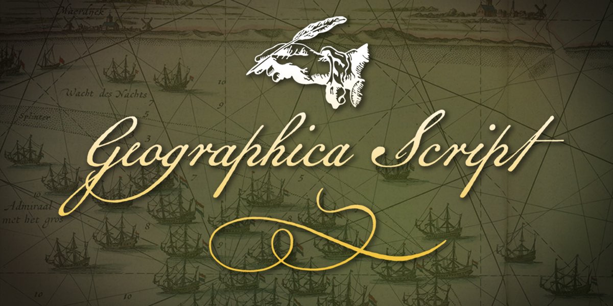
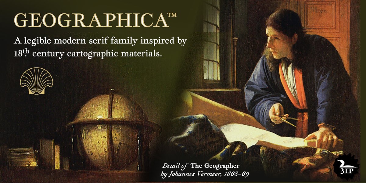
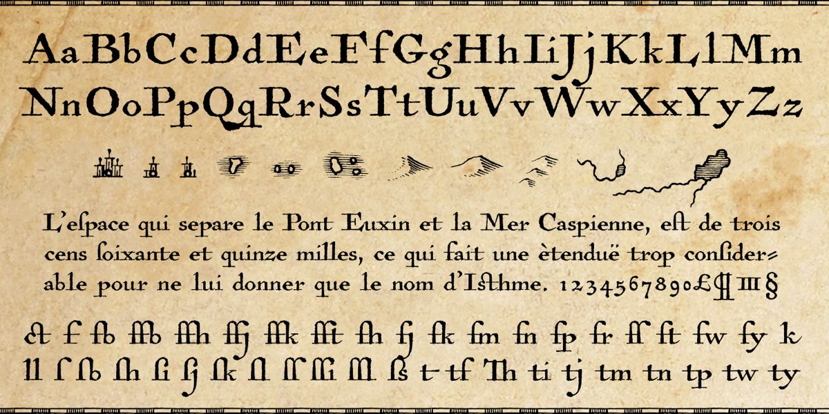
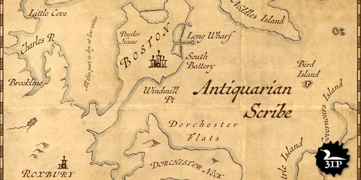
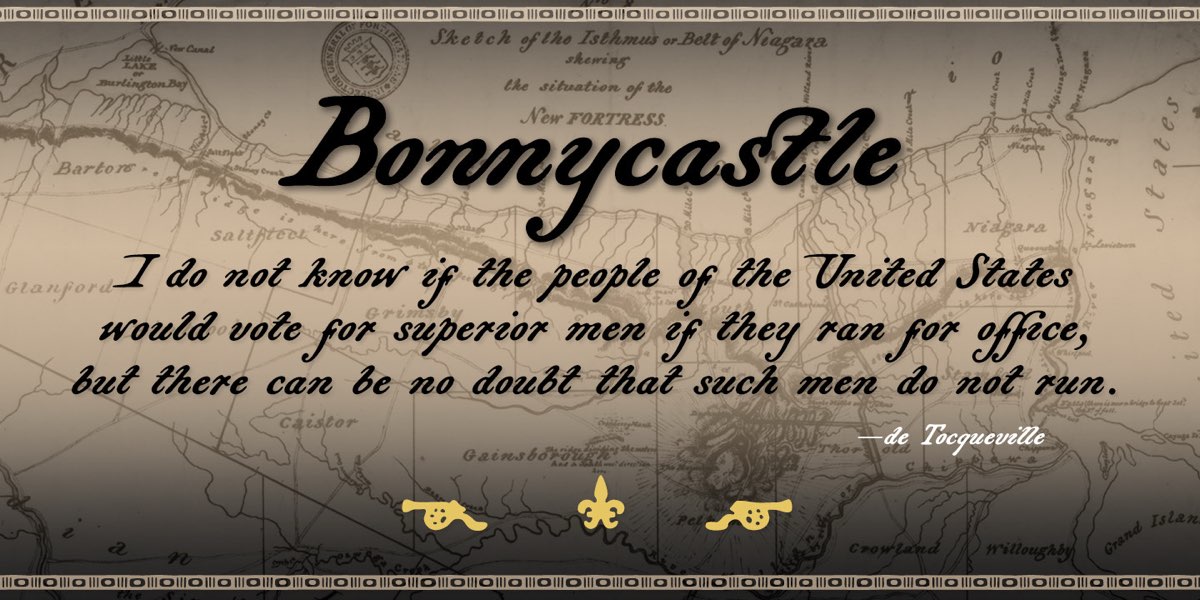
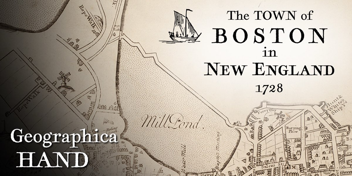
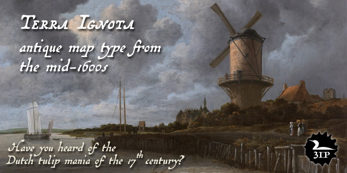
Inspired by actual cartography from the 1600s, 1700s, and 1800s, the members of our set of seven antique map faces (ten fonts total) are modeled after varied historical sources: • Engraved mid-1700s maps by Emanuel Bowen (1694–1767), Geographer to King George II, as well as British trade cards of the period by artist and printmaker William Hogarth (1697–1764) and others (inspiration for Geographica Script ); • The maps of Thomas Jefferys (1710–1771), Geographer to King George III and arguably the best-known English cartographic printer of the 18th century (our Geographica family, plus Geographica Hand ); • Henri Abraham Chatelain’s well-known Atlas Historique, ou Nouvelle Introduction a l’Histoire, a world atlas released between 1705 and 1732 in Amsterdam ( Antiquarian and Antiquarian Scribe ); • The hand-drawn titles in the charts of Sir Richard Henry Bonnycastle (1791–1847), an English military engineer who settled in Canada in the early 1800s ( Bonnycastle ); • The hand-lettering in Amerique Septentrionale, an oft-reproduced map made in 1650 by Nicolas Sanson (1600–1677), a noted early French cartographer ( Terra Ignota ). Explore the individual family pages for OpenType features, character sets, and language coverage.
1 style
An atlas of other times
1 style
Here be new discoveries
1 style
Islands beyond the horizon
4 styles
Longitude, latitude, possibility
1 style
Beyond the familiar shore
1 style
A world waiting to unfold
1 style
Into uncharted country
Kind Words